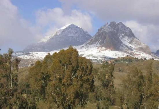
Peak Mount Sidi Amar | Elevation 1,985 m (6,512 ft) Period Miocene | |
 | ||
Similar Saharan Atlas, Hoggar Mountains, Atlas Mountains, Tassili n'Ajjer, M'zab | ||
A la decouverte de l ouarsenis
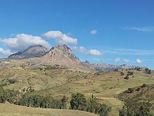
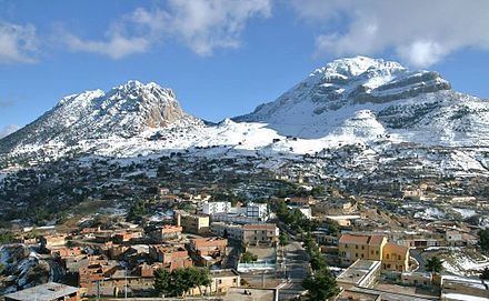
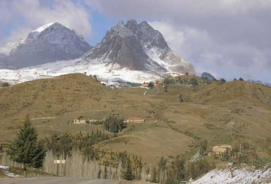
The Ouarsenis or Ouanchariss (Arabic: الونشريس El Ouanchariss or Al-Wansharis, Berber: Ouarsnis, meaning "nothing higher") is a mountain range in northwestern Algeria.
Contents
- A la decouverte de l ouarsenis
- Ouarsenis theniet el had couleurs d alg rie
- Geography
- Protected areas
- References
Ouarsenis theniet el had couleurs d alg rie
Geography
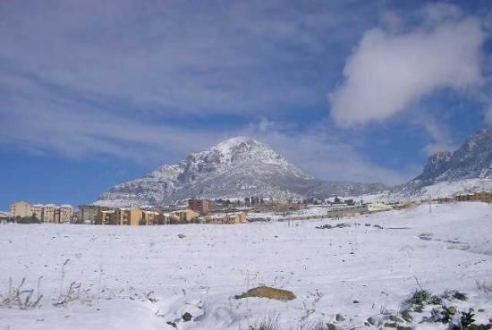
The range is located at about 80 km south of the Mediterranean, between the basin of the Chelif River in the north and in the east, the Oued Mina in the west and the Sersou plateau in the south. It reaches its maximum elevation of 1,985 m at the Mount Sidi Amar, near Bordj Bounaama at about 60 km west of Tissemsilt. Other important summits are Achaoun (1850 m), Sidi Abdelkader, Mount Tamedrara and Kef Siga. The mountain range area is inhabited by Berbers.
Protected areas
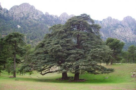
Although part of its slopes have been used traditionally to grow cereals, the range still has relatively large natural Atlas cedar forests.
The Théniet El Had National Park is a protected area located in the foothills of the Ouarsenis Range.