
Area 8.8 km² Local time Tuesday 2:22 AM Municipality Molenwaard | Time zone CET (UTC+1) Population 985 (2008) Team VVAC | |
 | ||
Weather 5°C, Wind N at 3 km/h, 83% Humidity | ||
Hervormde kerk ottoland the netherlands
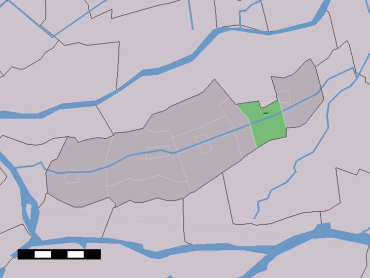
Ottoland is a village in the Dutch province of South Holland. It is a part of the municipality of Molenwaard, and lies about 10 km northwest of Gorinchem.
Contents
Map of Ottoland, Netherlands
In 2001, the village of Ottoland had 173 inhabitants. The built-up area of the village was 0.022 km², and contained 57 residences. The statistical area "Ottoland", which also can include the peripheral parts of the village, as well as the surrounding countryside, has a population of around 490.
Ottoland was a separate municipality between 1817 and 1986, until it became part of Graafstroom. Last one has made part of Molenwaard since 2013. Until the 1980s Ottoland had only two streets, simply called A and B.
References
Ottoland Wikipedia(Text) CC BY-SA