
Country United States FIPS code 36-55783 Elevation 535 m Population 808 (2010) Area code 716 | State New York Time zone Eastern (EST) (UTC-5) GNIS feature ID 0979331 Zip code 14766 Local time Monday 8:17 PM | |
 | ||
Weather 12°C, Wind N at 3 km/h, 84% Humidity Area 85.21 km² (84.69 km² Land / 26 ha Water) | ||
Otto is a town in Cattaraugus County, New York, United States. The population was 808 at the 2010 census. The name comes from Jacob S. Otto, an agent of the Holland Land Company. The town lies on the northern border of Cattaraugus County.
Contents
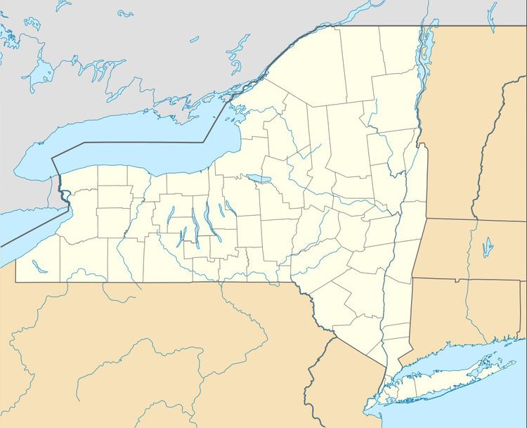
- Map of Otto NY 14719 USA
- History
- Geography
- Adjacent towns and areas
- Demographics
- Notable people
- Communities and locations in Otto
- References
Map of Otto, NY 14719, USA
History
The area of the town was first settled around 1816. The town of Otto was formed in 1823 from part of the town of Perrysburg. Otto returned territory to Perrysburg in 1823 and ceded land to Ashford in 1835. In 1854, the eastern half of the town was spun off and renamed East Otto.
The Medora Ball Historical Museum is listed on the National Register of Historic Places.
Geography
According to the United States Census Bureau, Otto has a total area of 32.9 square miles (85.1 km2), of which 32.7 square miles (84.8 km2) is land and 0.12 square miles (0.3 km2), or 0.36%, is water.
The north town line is formed by Cattaraugus Creek and is the border of Erie County, and the west town line is formed by the South Branch of Cattaraugus Creek.
The main highways through Otto are county roads. Cattaraugus County Route 12 is the main road through town, which extends southwestward toward Cattaraugus and northeastward toward East Otto, while Cattaraugus County Route 11 (North Otto Road) spurs northward from the hamlet of Otto through North Otto (then becomes Route 56 as it turns west on Forty Road), and Cattaraugus County Route 13 (Maples Road) splits off east of the hamlet toward Ellicottville. County Route 68 (Swamp Road) connects North Otto with East Otto.
Part of the Zoar Valley is located by the north town line.
Adjacent towns and areas
Demographics
As of the census of 2000, there were 831 people, 310 households, and 243 families residing in the town. The population density was 25.8 people per square mile (10.0/km²). There were 412 housing units at an average density of 12.8 per square mile (4.9/km²). The racial makeup of the town was 98.92% White, 0.72% Native American, and 0.36% from two or more races. Hispanic or Latino of any race were 0.36% of the population.
There were 310 households out of which 32.9% had children under the age of 18 living with them, 64.8% were married couples living together, 8.4% had a female householder with no husband present, and 21.6% were non-families. 16.5% of all households were made up of individuals and 4.8% had someone living alone who was 65 years of age or older. The average household size was 2.68 and the average family size was 2.98.
In the town, the population was spread out with 25.0% under the age of 18, 6.5% from 18 to 24, 28.2% from 25 to 44, 27.9% from 45 to 64, and 12.4% who were 65 years of age or older. The median age was 40 years. For every 100 females there were 99.3 males. For every 100 females age 18 and over, there were 103.6 males.
The median income for a household in the town was $37,625, and the median income for a family was $43,942. Males had a median income of $31,063 versus $24,375 for females. The per capita income for the town was $16,748. About 6.3% of families and 9.4% of the population were below the poverty line, including 11.7% of those under age 18 and 4.7% of those age 65 or over.