Area 11.12 km² Population 879 (2002) | Elevation 346 m Local time Monday 10:45 PM | |
 | ||
Weather 5°C, Wind NE at 3 km/h, 60% Humidity | ||
Otiški Vrh ([ɔˈtiːʃki ˈʋəɾx]) is a dispersed settlement in the hills southeast of Dravograd in the Styria region in northern Slovenia.
Contents
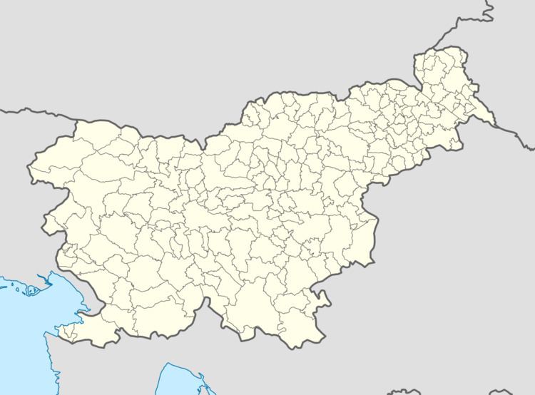
Map of Oti%C5%A1ki Vrh, Slovenia
Geography
The Mislinja River joins the Meža River from the right north of the village of Otiški Vrh, only a couple of hundred meters before the Meža joins the Drava River.
History
In 2004, the settlement of Bukovje ceded from Otiški Vrh.
Mass grave
Otiški Vrh is the site of a mass grave associated with the Second World War. The Bavh Mass Grave (Slovene: Grobišče Pod Bavhom) is located below the Bavh farm in the western part of the settlement, 300 m northeast of the main road, on the steep edge of a wooded slope by a large pine tree. It contains the remains of unidentified victims.
Church
The parish church in the settlement is a pilgrimage church dedicated to Saint Peter. It is built on a hill known as Kronska gora, high above the Mislinja Valley. It is a Baroque building with a two-storey entrance facade and a double belfry built between 1745 and 1750. A second church to the east of the settlement is dedicated to Saint Oswald. It is a Late Gothic church with 17th-century wall paintings.
