
Country United States Time zone CST (UTC-6) Area 91.74 km² Population 1,511 (2010) | Established November 9, 1859 Elevation 171 m Local time Monday 2:35 PM | |
 | ||
ZIP codes 62418, 62471, 62838, 62857, 62880 Weather 15°C, Wind NE at 13 km/h, 88% Humidity | ||
Otego Township is one of twenty townships in Fayette County, Illinois, USA. As of the 2010 census, its population was 1,511 and it contained 666 housing units. Its name changed from Cumberland township on September 24, 1860. Overcup Church is located in this township.
Contents
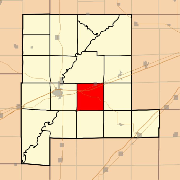
- Map of Otego Township IL USA
- Geography
- Cities towns villages
- Unincorporated towns
- Cemeteries
- Major highways
- School districts
- Political districts
- References
Map of Otego Township, IL, USA
Geography
According to the 2010 census, the township has a total area of 35.42 square miles (91.7 km2), of which 35.34 square miles (91.5 km2) (or 99.77%) is land and 0.08 square miles (0.21 km2) (or 0.23%) is water.
Cities, towns, villages
Unincorporated towns
(This list is based on USGS data and may include former settlements.)
Cemeteries
The township contains these six cemeteries: Arm Prairie, Griffith, Mitchell Family, Morton, Pilcher and Winslow Pilcher.
Major highways
School districts
Political districts
References
Otego Township, Fayette County, Illinois Wikipedia(Text) CC BY-SA