
Local time Monday 7:31 PM | ||
 | ||
Weather 7°C, Wind E at 6 km/h, 84% Humidity | ||
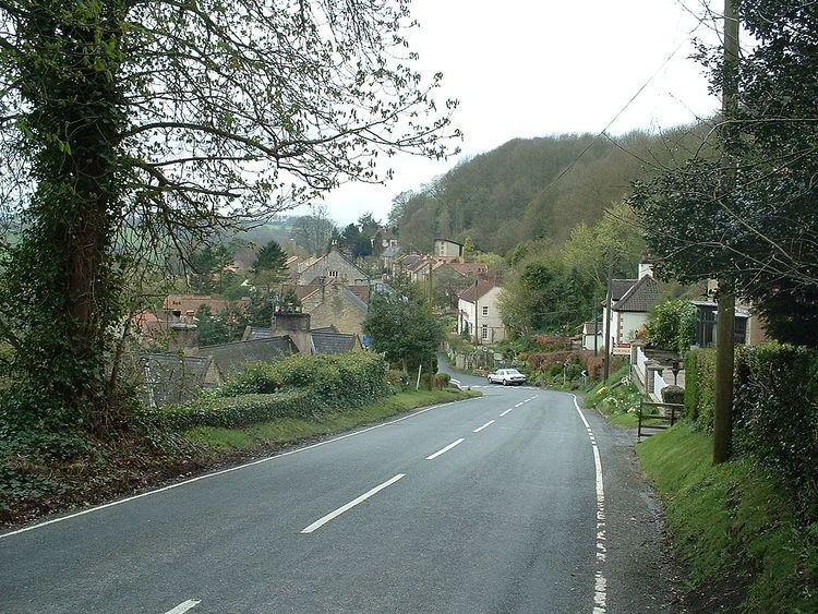
Oswaldkirk is a small village and civil parish near Helmsley in the district of Ryedale in North Yorkshire, England. It is named after the village church of St Oswald, King and Martyr, the Anglo-Saxon King of Northumbria who was slain by the pagan, Penda in 642. There is also a Catholic church, dedicated to St Aidan. The population of the village as taken at the 2011 census was 230.
Contents
Map of Oswaldkirk, UK
The village also has a playground, a village hall and a pub called 'The Malt Shovel'. It is situated on the junction of the B1257 and the B1363. It is on the path of the Ebor Way.
Each year the village holds a Safari Lunch, a Cricket match and a Bonfire. Every two years there is a benefice Hog Roast (Ampleforth, Gilling, Stonegrave & Oswaldkirk). In 2002 the village community wrote a book entitled "Oswaldkirk, A Living Village". In 2008, the village reached the North of England Finals in the Calor village of the year competition, and was placed first in the "people" category.
Geology
Oswaldkirk is situated to the south of a steep hill, known as "Oswaldkirk Hagg". Many springs rise along the base of the hill, at the boundary of the Kimmeridge clay and the Coralline Oolite. The latter was mined into the twentieth century in numerous quarries on the hagg between Oswaldkirk and Ampleforth, and fossils from the limestone, especially gastropods, are often found in the village.
History
The first recorded reference to Oswaldkirk was in the Domesday Book. It was referred to as "Oswaldecherca" or "Oswaldecherce" (Oswald's Church).
Oswaldkirk Hall, a Grade II* listed house, was built c,1690 for William Moor.