
- summer (DST) CEST (UTC+2) Area 50.42 km² Team HC Čerti Ostrov | Elevation 398 m Local time Monday 7:21 PM | |
 | ||
Weather 14°C, Wind E at 8 km/h, 36% Humidity Points of interest Klášterní areál, Piaristický klášter, Ostrovské rybníky | ||
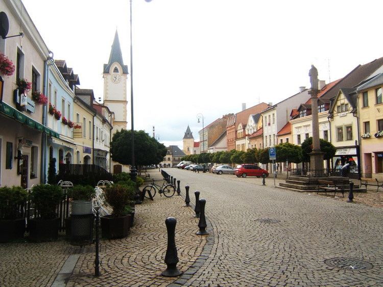
Ostrov ( [ˈostrof]; German: Schlackenwerth), is a town in the Karlovy Vary Region, Czech Republic. It is located at a foothill of the Ore Mountains about 10 kilometres (6 miles) northeast of Karlovy Vary and has a population of 16,999 (September, 2009). The origin of the settlement named Zlaukowerde (Slávek's Island) at the confluence of Bystřice and Jáchymovský Creeks traces back to the beginning of the 13th century. The town charter for Ostrov was issued by Bohemian king John the Blind in 1331. During World War II the castle served as nazi concentration camp. The population of Ostrov multiplied after World War II with a boom of uranium mining in nearby Jáchymov. The extensive housing blocks from the 1950s forming the new part of Ostrov are considered one of the best examples of socialist realism architecture in the Czech Republic. The town was known for production of Škoda trolleybuses for many decades, but this ended in 2004.
Contents
Map of 363 01 Ostrov, Czechia
Twin towns — Sister cities
Ostrov is twinned with: