
Elevation 88 m (289 ft) Postal code 23326 Area 63.6 km² Population 2,844 (2011) | Time zone CET (UTC+1) Area code(s) +381(0)23 Local time Monday 6:52 PM | |
 | ||
Weather 12°C, Wind N at 11 km/h, 32% Humidity | ||
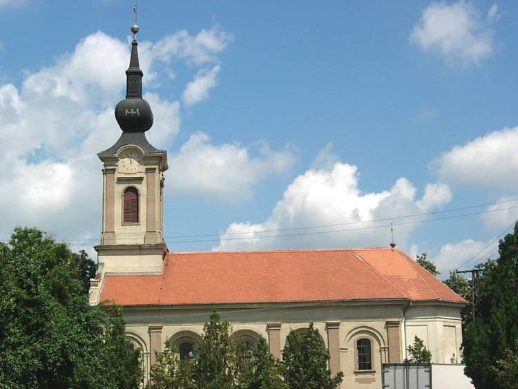
Ostojićevo (Serbian Cyrillic: Остојићево) is a village in Serbia. It is situated in the Čoka municipality, North Banat District, Vojvodina province. The village has a Serb ethnic majority (56.15%) with a present Hungarian minority (26.51%) and its population numbering 2,844 people with about 300 Polish Silesian minority of Drogomyśl descent (2002 census).
Contents
Map of Ostoji%C4%87evo, Serbia
Name
In Serbian the village is known as Ostojićevo (Остојићево), in Hungarian as Tiszaszentmiklós, in Slovak as Ostojičovo, in Croatian as Ostojićevo, and in German as Sankt Nikolaus an der Theiß.
Historical population
References
Ostojićevo Wikipedia(Text) CC BY-SA