
Area 21.27 km² | Intercommunality Le Dunois Local time Monday 4:01 PM | |
 | ||
Weather 19°C, Wind SE at 10 km/h, 39% Humidity | ||
Osmery is a commune in the Cher department in the Centre region of France.
Contents
Map of 18130 Osmery, France
Geography
A farming area comprising a village and several hamlets situated some 16 miles (26 km) southeast of Bourges, near the junction of the D10 with the D2076 and D166 roads. The village lies on the right bank of the Airain, which flows west-northwest through the southern part of the commune.
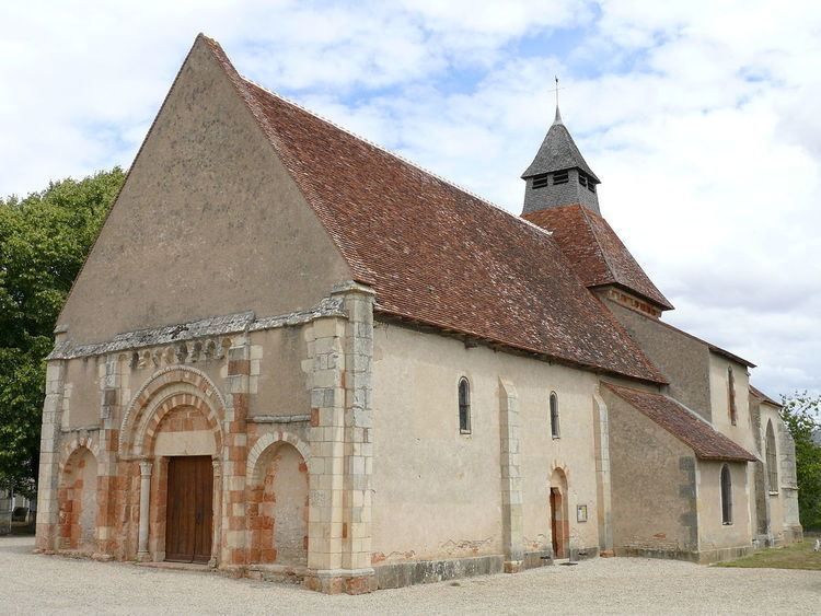
Sights
References
Osmery Wikipedia(Text) CC BY-SA