OsmAnd (OpenStreetMap Automated Navigation Directions) is a free and open source, global mobile map viewing & navigation app for offline and online maps for Android and iOS. It uses the OpenStreetMap (OSM) map database for its primary displays. The development of this project is being done on GitHub and the Android version is available under the GPLv3 license. The application is available in both a free and a paid version which works as a donation to the developer, unlocks the download limit for offline maps, and provides access to Wikipedia POIs and their description from within the app.
OsmAnd (OSM Automated Navigation Directions) is a map and navigation application with access to the free and worldwide OpenStreetMap (OSM) data.All map data can be stored on the device's memory card for offline use. Via the device's GPS, OsmAnd offers routing, with visual and voice guidance, for car, bike, and pedestrian. All the main functionalities work both online and offline.
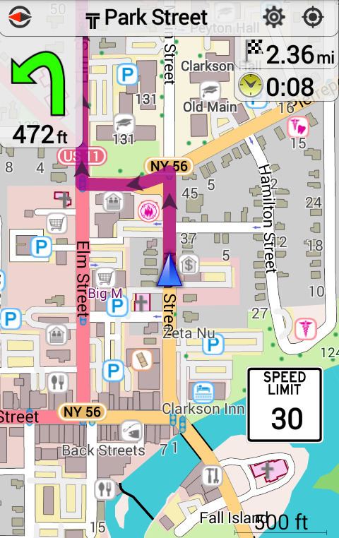
Works online or offline (no roaming charges)Turn-by-turn voice guidance (recorded and synthesized voices)Optional lane guidance, street name display, and estimated time of arrivalSupports intermediate pointsAutomatic re-routingSearch for places by address, by type (e.g.: restaurant, hotel, gas station, museum), or by geographical coordinatesDisplay the position and orientation on the mapOptionally align the map according to compass or the direction of motion of the devicePlaces can be saved as favoritesDisplay POIs (point of interests)Can display online tile mapsCan display satellite view (from Bing)Can display different overlays like touring/navigation GPX tracks and additional maps with customizable transparencyOptionally display place names in English, local, or phonetic spellingUse OpenStreetMap and Wikipedia Data
Global maps from OpenStreetMap, available per country or regionWikipedia POIs (not available in the free version)Unlimited free download, directly from the app (download limit 10 map files in free version)Always up-to-date maps (usually 1-2 updates per month)Compact offline vector mapsSelect between complete map data and just road network (Example: All of Japan is 700 MB, or 200 MB for the road network only)Also supports online or cached tile mapOptional automated day/night view switchingOptional speed limit display, with a reminder if the user exceeds itOptional speed-dependent map zoomingLocation sharingBicycle and Pedestrian Features
The maps include foot, hiking, and bike pathsSpecial routing and display modes for bike and pedestrianOptional public transport stops (bus, tram, train) including line namesOptional trip recording to local GPX file or online serviceOptional speed and altitude displayDisplay of contour lines and hill-shading (via additional plugin)Report map bugsUpload GPX tracks to OSM directly from the appAdd POIs and directly upload them to OSM (or later if offline)Optional trip recording also in background mode (while device is in sleep mode)