
- summer (DST) CEST (UTC+2) Area 31.2 km² | Elevation 348 m Local time Monday 3:10 PM | |
 | ||
Weather 16°C, Wind NW at 8 km/h, 27% Humidity | ||
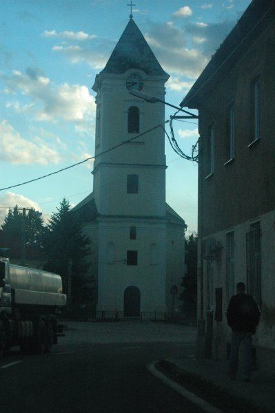
Oslany (Hungarian: Oszlány) is a village and municipality in Prievidza District in the Trenčín Region of western Slovakia.
Contents
Map of Oslany, Slovakia
History
In historical records the village was first mentioned in 1254.
While the Ottomans occupied most of central Europe, the region north of lake Balaton remained in the Kingdom of Hungary (1538–1867). Until 1918, the town (named OSZLÁNY) was part of the Austrian monarchy, province of Hungary; in Transleithania after the compromise of 1867 in the Kingdom of Hungary.
Geography
The municipality lies at an altitude of 234 metres (768 ft) and covers an area of 25.153 km2 (9.71 sq mi). It has a population of about 2224 people.
References
Oslany Wikipedia(Text) CC BY-SA