
Elevation 516 m Local time Monday 6:12 AM | Area 47.05 km² | |
 | ||
Weather 22°C, Wind NE at 2 km/h, 69% Humidity Neighborhoods Barrio El Calvario, Barrio El Centro, Barrio San Miguel | ||
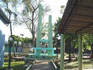
Osicala is a city in the Department of Morazan, Republic of El Salvador.
Contents
Map of Osicala, El Salvador
Origin is 184 km (114 mi) from the capital, San Salvador. Located on one of the hills north of Cerro Cacahuatique (Cacahuatique Mount). Limits to the north with Meanguera, south-east with Delicias de Concepción and west with Gualococti. Climate: Due to its location above the sea level, this City has a fresh temperature (15-20°C, 59°F - 68°F) during most of the year.
Major Source of Income
People there are dedicated to agriculture. Over the land they grow corn, agave and coffee. Some fruit trees like mangoes, bananas, oranges and limes are also grown.
Rivers
References
Osicala Wikipedia(Text) CC BY-SA