
ZIP codes 65020, 65052 Elevation 269 m Local time Monday 6:01 AM | Time zone CST (UTC-6) GNIS feature ID 2397850 Area 83.22 km² Population 3,457 (2000) | |
 | ||
Weather 11°C, Wind NE at 5 km/h, 92% Humidity | ||
Osceola Township is one of eleven townships in Camden County, Missouri, USA. As of the 2000 census, its population was 3,457.
Contents
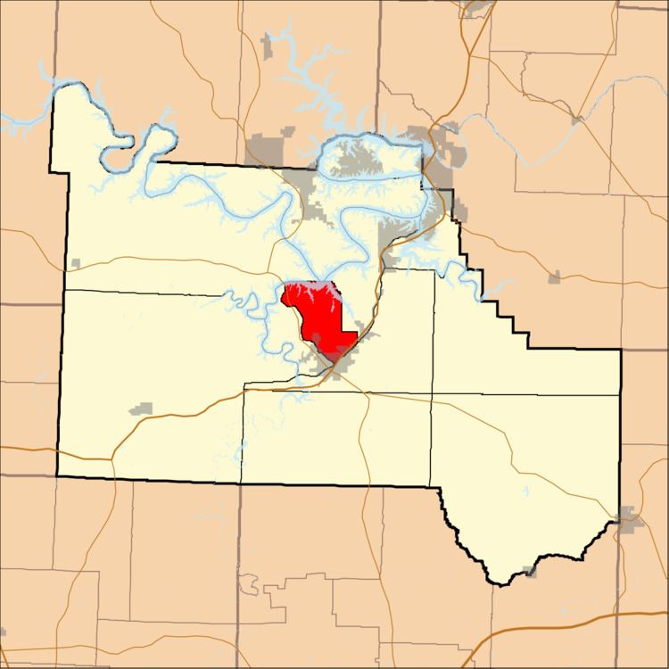
- Map of Osceola Township MO USA
- Geography
- Cities towns villages
- Adjacent townships
- Cemeteries
- Major highways
- School districts
- Political districts
- References
Map of Osceola Township, MO, USA
Geography
According to the United States Census Bureau, Osceola Township covers an area of 32.13 square miles (83.23 square kilometers); of this, 25.71 square miles (66.6 square kilometers, 80.02 percent) is land and 6.42 square miles (16.63 square kilometers, 19.98 percent) is water.
Cities, towns, villages
Adjacent townships
Cemeteries
The township contains Memorial Cemetery.
Major highways
School districts
Political districts
References
Osceola Township, Camden County, Missouri Wikipedia(Text) CC BY-SA