
Country Norway District Østerdalen Area rank 101 in Norway Area 1,040 km² Local time Monday 10:39 AM | County Hedmark Administrative centre Os i Østerdalen Demonym(s) Osing Population 2,131 (2004) Official language form Norwegian Language | |
 | ||
Weather 6°C, Wind W at 18 km/h, 73% Humidity Points of interest Forollhogna National, Forollhogna, Oddentunet | ||
Os is a municipality in Hedmark county, Norway. It is part of the traditional region of Østerdalen. The administrative centre of the municipality is the village of Os i Østerdalen. The new municipality of Os was separated from Tolga on 1 July 1926. (Tolga and Os were also briefly merged from 1966-1976: see Tolga-Os.)
Contents
Map of Os, Norway
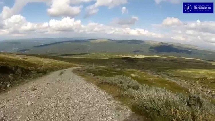
The municipality is located to the west of the municipality of Røros and to the south of Midtre Gauldal and Holtålen in Sør-Trøndelag county. In Hedmark county, Os is east of Tolga and north of Engerdal.
Name
The municipality (originally the parish) is named after the old Os farm (Old Norse: Óss), since the first church was built here (in 1703). The name is identical with the word óss which means "mouth of a river" (here it is the Vangrøfta river running out into the Glomma river).
Coat-of-arms
The coat-of-arms is from modern times. They were granted on 17 December 1992. The arms show three gold cowbells on a green background. It symbolizes the traditional and modern businesses in the municipality.
Geography
Lakes in the region include Flensjøen.