Time zone EET (UTC+2) Licence plate 68 Elevation 1,140 m Local time Monday 7:17 AM | Region Central Anatolia Postal code 68xxx Website www.ortakoy.gov.tr Area 725 km² Area code 0382 | |
 | ||
Weather 8°C, Wind S at 11 km/h, 60% Humidity | ||
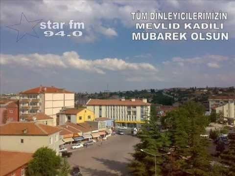
Ortaköy is a town and district of Aksaray Province in the Central Anatolia region of Turkey, located north-west of the city of Aksaray, nearer to Kırşehir. According to 2000 census, population of the district is 58,873 of which 26,961 live in the town of Ortaköy. The district covers an area of 725 km2 (280 sq mi), and the average elevation is 1,140 m (3,740 ft).
Contents
Map of Ortak%C3%B6y, 68400 Ortak%C3%B6y%2FAksaray, Turkey
This is a rural district centred on the small, quiet town of Ortaköy.
Places of interest
References
Ortaköy, Aksaray Wikipedia(Text) CC BY-SA
