
Country United States Area code(s) 207 Elevation 36 m Population 3,733 (2010) | Time zone Eastern (EST) (UTC-5) FIPS code 23-55680 Zip code 04474 | |
 | ||
Weather -1°C, Wind S at 11 km/h, 65% Humidity Area 70.78 km² (64.72 km² Land / 6.061 km² Water) | ||
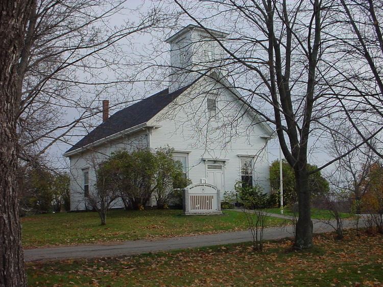
Aerial foliage sights around orrington maine
Orrington is a town on the Penobscot River estuary in Penobscot County, Maine, United States. The population was 3,733 at the 2010 census.
Contents
- Aerial foliage sights around orrington maine
- Map of Orrington ME USA
- Contemporary chalet in orrington maine
- History
- Geography
- 2010 census
- 2000 census
- Education
- Notable people
- References
Map of Orrington, ME, USA
Contemporary chalet in orrington maine
History
Orrington was originally part of Condustiegg (or Kenduskeag) Plantation, which also included the present-day cities of Bangor and Brewer. Orrington was incorporated as a town in 1788 with its major village at Brewer, then called "New Worcester". Bangor incorporated three years later in 1791. Brewer broke away from Orrington in 1812 to form a separate town.
The name "Orrington" reportedly resulted from a spelling mistake. The settlers intended to name it "Orangetown" after Orangetown, Maryland, but it was written on the record-books in distant Massachusetts, of which Maine was then a territory, as "Orrington". "Orring" was a reasonable phonetic rendering of "orange" before the standardization of English spelling.
Geography
According to the United States Census Bureau, the town has a total area of 27.33 square miles (70.78 km2), of which, 24.99 square miles (64.72 km2) of it is land and 2.34 square miles (6.06 km2) is water.
2010 census
As of the census of 2010, there were 3,733 people, 1,478 households, and 1,068 families residing in the town. The population density was 149.4 inhabitants per square mile (57.7/km2). There were 1,612 housing units at an average density of 64.5 per square mile (24.9/km2). The racial makeup of the town was 98.2% White, 0.2% African American, 0.4% Native American, 0.6% Asian, 0.2% from other races, and 0.5% from two or more races. Hispanic or Latino of any race were 0.9% of the population.
There were 1,478 households of which 30.7% had children under the age of 18 living with them, 60.5% were married couples living together, 7.8% had a female householder with no husband present, 3.9% had a male householder with no wife present, and 27.7% were non-families. 20.3% of all households were made up of individuals and 8.1% had someone living alone who was 65 years of age or older. The average household size was 2.53 and the average family size was 2.91.
The median age in the town was 43.5 years. 21.9% of residents were under the age of 18; 6.8% were between the ages of 18 and 24; 23.7% were from 25 to 44; 34.1% were from 45 to 64; and 13.5% were 65 years of age or older. The gender makeup of the town was 49.6% male and 50.4% female.
2000 census
As of the census of 2000, there were 3,526 people, 1,396 households, and 1,042 families residing in the town. The population density was 138.8 people per square mile (53.6/km²). There were 1,489 housing units at an average density of 58.6 per square mile (22.6/km²). The racial makeup of the town was 99.09% White, 0.20% African American, 0.11% Native American, 0.23% Asian, 0.03% from other races, and 0.34% from two or more races. Hispanic or Latino of any race were 0.14% of the population.
There were 1,396 households out of which 32.7% had children under the age of 18 living with them, 64.3% were married couples living together, 7.1% had a female householder with no husband present, and 25.3% were non-families. 19.3% of all households were made up of individuals and 8.7% had someone living alone who was 65 years of age or older. The average household size was 2.52 and the average family size was 2.89.
In the town, the population was spread out with 23.6% under the age of 18, 5.8% from 18 to 24, 29.8% from 25 to 44, 28.8% from 45 to 64, and 12.1% who were 65 years of age or older. The median age was 40 years. For every 100 females there were 99.9 males. For every 100 females age 18 and over, there were 96.7 males.
The median income for a household in the town was $44,327, and the median income for a family was $47,803. Males had a median income of $35,250 versus $27,381 for females. The per capita income for the town was $19,290. About 2.4% of families and 4.3% of the population were below the poverty line, including 3.6% of those under age 18 and 5.8% of those age 65 or over.
Education
Orrington is home to a Pre-Kindergarten through 8th grade school for its residents. Center Drive School, named after the road it is located on, has about 400 students. The mascot of Center Drive School is the Eagles.