
 | ||
Weather 26°C, Wind S at 3 km/h, 78% Humidity | ||
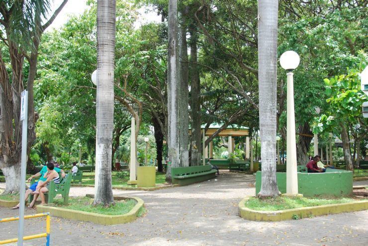
Orotina is the capital city of the canton of Orotina in the province of Alajuela in Costa Rica. It is also the name of the distrito (district) that includes the city. The district of Orotina covers an area of 19.99 km², and has a population of 15,705.
Contents
Map of Alajuela Province, Orotina, Costa Rica
The city lies at an elevation of 229 meters above sea level in a relatively flat section on the west side of the coastal mountain range of Costa Rica, It is 26 kilometers northeast of the Pacific Ocean at Tárcoles, 48 kilometers southwest of the provincial capital city of Alajuela, and 66 kilometers from the national capital city of San Jose. With the Ciudad Colón-Orotina highway completed the time it takes to get from the capital to Orotina is just about 45 minutes, instead of the 80-90 minutes it used to take.