
Local time Monday 10:27 AM | ||
 | ||
Country People's Republic of China Weather 4°C, Wind N at 8 km/h, 34% Humidity Points of interest Gaxiandong Forest Park, Oroqen Museum, Hulunber Busuli Holiday Villa | ||
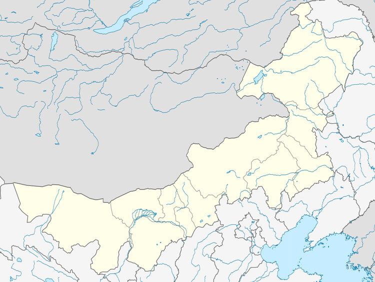
Oroqen Autonomous Banner (Mongolian: ᠣᠷᠴᠣᠨ ᠤ ᠥᠪᠡᠷᠲᠡᠭᠡᠨ ᠵᠠᠰᠠᠬᠤ ᠬᠣᠰᠢᠭᠤ Орчон-у өбэртэгэн жасақу қосиу Orčon-u öbertegen jasaqu qosiɣu; simplified Chinese: 鄂伦春自治旗; pinyin: Èlúnchūn Zìzhìqí) is an autonomous banner that lies directly south of the urban district of Hailar in the prefecture-level city of Hulunbuir. It covers an area of 60,378 square kilometres (23,312 sq mi). As of the 2010 census, there were 223,752 inhabitants with a population density of 4.84 inhabitants per km². Its capital is the town of Alihe (阿里河镇). It includes Ganhe (甘河), Dayangshu (大杨树), Jiwen (吉文) but excludes the Jiagedaqi and Songling Districts.
Map of Oroqen, Hulun Buir, Inner Mongolia, China
References
Oroqen Autonomous Banner Wikipedia(Text) CC BY-SA