
- summer (DST) CEST (UTC+2) Area 29.14 km² | Elevation 680 m Local time Monday 1:19 AM | |
 | ||
Weather 2°C, Wind NE at 5 km/h, 59% Humidity Points of interest Kunštátská kaple, Bedřichovka, Komáří vrch, Hraniční louka, Trčkovská louka | ||
Orlick z ho a okol
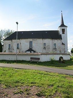
Orlické Záhoří is a municipality (obec) in the Rychnov nad Kněžnou District, Czech Republic It consists of several settlements in the Divoká Orlice valley between the Bystrzyckie Mountains and Orlické Mountains, along the border with Poland (which matches the flow of the Divoká Orlice river in this area). It was established in 1951, while the constituting settlements trace back to 15-16th centuries. The name may be approximately translated as "Orlice Transmountain Area"
Contents
Map of 517 64 Orlick%C3%A9 Z%C3%A1ho%C5%99%C3%AD, Czechia
The municipality encompasses the following villages:
The municipality has a pass to Poland for pedestrians, cyclists and personal cars.
Orlick z ho 2013
References
Orlické Záhoří Wikipedia(Text) CC BY-SA