
State Pará HDI (2000) 0.717 – medium Elevation 46 m Local time Sunday 7:09 PM | Region Norte Founded June 13, 1877 Area 107,603 km² Population 57,765 (2008) | |
 | ||
Website www.oriximina.pa.gov.br Weather 27°C, Wind E at 5 km/h, 90% Humidity | ||
Oriximiná is the westernmost and second-largest (by territorial area) municipality in the Brazilian state of Pará. It is also the fourth-largest in the country.
Contents
Map of Oriximin%C3%A1, State of Par%C3%A1, Brazil
Location
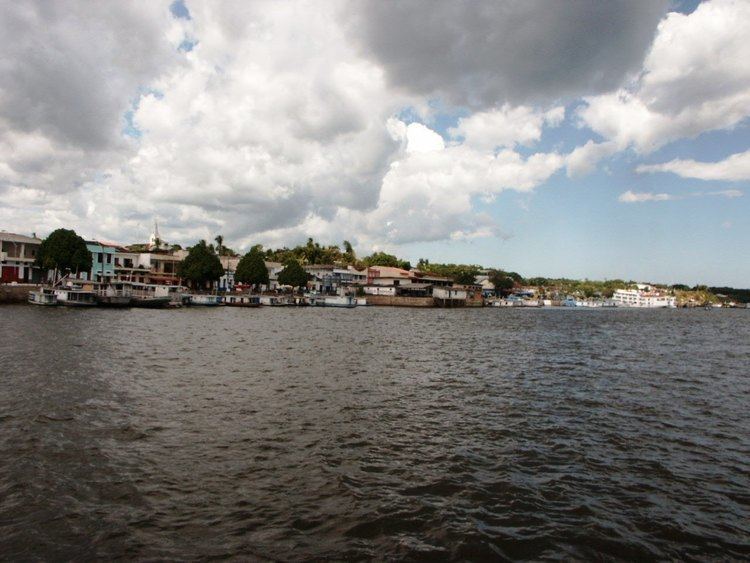
The city lies on the Trombetas river, 40 kilometres (25 mi) northwest of Óbidos. The city is crossed by the Equator. Oriximiná is served by Oriximiná Airport located 8 kilometres (5.0 mi) from downtown Oriximiná. Porto Trombetas Airport located in the district of Porto Trombetas 70 kilometres (43 mi) away serves the population residing and working for the Mineração Rio do Norte S/A.
Conservation
The north of the municipality contains the larger part (75.89%) of the 4,245,819 hectares (10,491,650 acres) Grão-Pará Ecological Station, the largest fully protected tropical forest conservation unit on the planet. The municipality also contains the 1,007,580 hectares (2,489,800 acres) Rio Trombetas Biological Reserve, a strictly protected conservation unit created in 1979 to preserve the ecology and specifically to protect the Arrau turtle. The municipality contains part of the Saracá-Taquera National Forest, a 441,283-hectare (1,090,430-acre) sustainable-use conservation unit created in 1989. It contains 88% of the 3,172,978 hectares (7,840,600 acres) Trombetas State Forest, created in 2006.