
County Armagh | ||
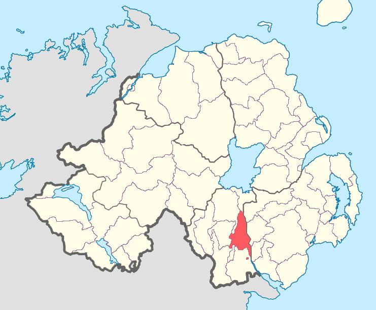 | ||
Orior Lower (from Irish: Airthir, the name of an ancient Gaelic territory) is a barony in County Armagh, Northern Ireland. It lies in the east of the county and borders County Down with its eastern boundary. It is bordered by seven other baronies: Fews Upper to the south-west; Fews Lower to the west; Oneilland West to the north-west; Oneilland East to the north; Iveagh Lower, Lower Half to the north-east; Iveagh Upper, Upper Half to the east; and Orior Upper to the south. A small enclave of Orior Lower resides in the east of Orior Upper.
Contents
List of main settlements
Below is a list of settlements within Orior Lower:
Towns
Villages and population centres
List of civil parishes
Below is a list of civil parishes in Orior Lower:
References
Orior Lower Wikipedia(Text) CC BY-SA