
Area 2,009 km² Nearest city Las Cruces | Management Bureau of Land Management Established May 21, 2014 | |
 | ||
Location Doña Ana County, New Mexico, United States Governing body Bureau of Land Management Website Organ Mountains-Desert Peaks National Monument | ||
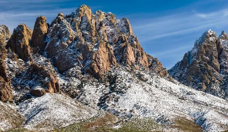
Organ mountains desert peaks national monument new mexico usa in hd
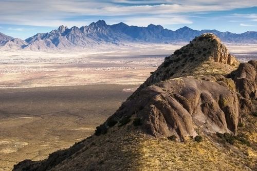
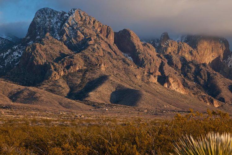
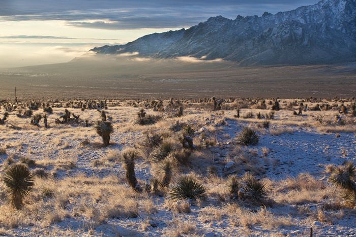
The Organ Mountains-Desert Peaks National Monument is a United States National Monument in New Mexico, managed by the Bureau of Land Management as part of the National Landscape Conservation System.
Contents
- Organ mountains desert peaks national monument new mexico usa in hd
- Sierra vist trail mountain biking at organ mountains desert peaks national monument
- Description
- Protected areas
- Campaign for establishment
- References
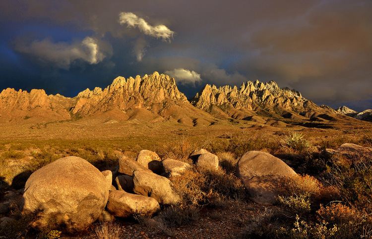
Sierra vist trail mountain biking at organ mountains desert peaks national monument
Description
The 496,330 acre monument protects a variety of geological, paleontological and archaeological resources. President Barack Obama designated the monument on May 21, 2014. Half of the monument is designated wilderness and closed to development or motorized use.
The Monument is located in the Mesilla Valley in southern New Mexico, surrounding the city of Las Cruces, New Mexico in Doña Ana County. The protected area includes the mountain ranges of the Chihuahua Desert. The five identified as being within the national monument are the Robledo Mountains, Sierra de las Uvas, Doña Ana Mountains, Organ Mountains and the Potrillo Mountains. The Prehistoric Trackways National Monument is beside this area.
Protected areas
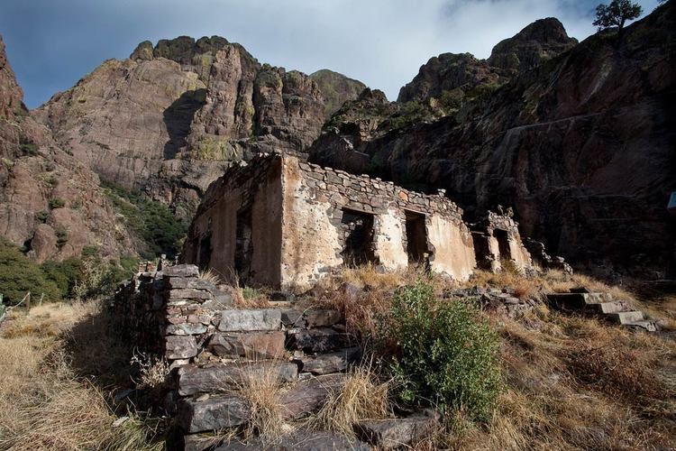
The Monument protects many archaeological and cultural sites of interest includes sites where World War Two bombers practised their targeting, and Kilbourne Hole in the Potrillo volcanic field where American astronauts trained for lunar missions in the 1960s. The monument also includes 22 miles (35 km) of the Butterfield Stagecoach Trail.
Before the Gadsden Purchase, this land included the border between Mexico and the U.S.A. The Aden Lava Flow Wilderness Study Area is here and there are 243 known archeological sites including some of the earliest Native American settlements and petroglyphs made by three different tribes. The land includes Shelter Cave and Conkling Cavern. Fossils of ground sloths have been found in the area.
More recently the land was used by William H. Bonney (who became the outlaw Billy the Kid) and Geronimo, who led his forces during the Apache Wars. It is said that "Outlaw Rock" is where Billy the Kid visited and there is a cave known as "Geronimo's Rock".
The area is managed by the federal Bureau of Land Management.
Campaign for establishment
The national monument status was created after a campaign by conservation advocates that lasted several years. Several bills were introduced in Congress to protect the area through legislation, but they were blocked by House Republicans. In contrast with some previous monument designations, communities and governments of Doña Ana County were supportive of the application for designation. A poll found that 60 percent of the local voters favored establishing this land as a 500,000-acre national monument.