Vehicle registration ΕΡ | Time zone EET (UTC+2) Local time Sunday 5:51 PM | |
 | ||
Weather 17°C, Wind W at 16 km/h, 40% Humidity | ||
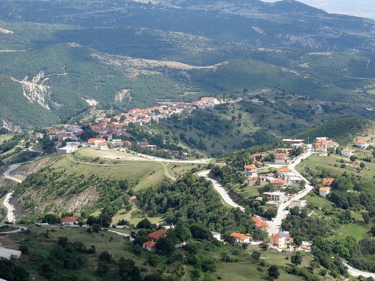
Oreini (Greek: Ορεινή) is a village and a former community in the Serres regional unit, Greece. Since the 2011 local government reform it is part of the municipality Serres, of which it is a municipal unit. The municipal unit has an area of 54.309 km2. Population 742 (2011).
Map of Oreini 621 00, Greece
Northeast of the modern village (approximately 2 km), on the hill of "Prophet Helias", has identified the site of a Roman settlement. His foundation, dating back to early antiquity, is associated with the rich iron mines of mountain Vrontous, as is evidenced by the discovery of an iron smelter side the ruins of a Roman castle, located 3-4 km east of the hill of "Prophet Helias".
References
Oreini, Serres Wikipedia(Text) CC BY-SA
