
Existed: 1932 – present Length 11.22 km | Constructed 1932 | |
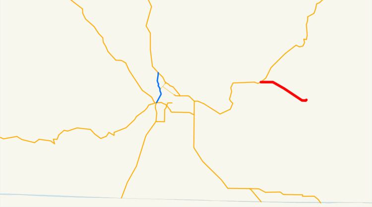 | ||
East end: Market Street and Central Street in Bonanza | ||
Oregon Route 70 is an Oregon state highway that runs between the towns of Dairy, and Bonanza in south-central Oregon The highway is known as the Dairy-Bonanza Highway No. 23 (see Oregon highways and routes) and is signed east-to-west.
Contents
Map of OR-70, Bonanza, OR 97623, USA
Route description
Oregon Route 70 begins (at its western terminus) at an intersection with Oregon Route 140 in the town of Dairy. It heads east-southeast for seven miles (11 km), ending in the city of Bonanza.
History
The Dairy-Bonanza Highway was established in 1917. When the Oregon route numbering system was introduced in 1932, the highway was assigned the number OR 70. There have been no major changes to the highway since its establishment.
Major intersections
The entire route is in Klamath County.
References
Oregon Route 70 Wikipedia(Text) CC BY-SA