
Existed: 1952 – present Constructed 1952 | Length 2.66 km | |
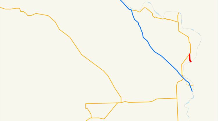 | ||
Oregon Route 52 (OR 52) is a very short Oregon state highway that runs from OR 201 at Payette Junction, Oregon, to the Snake River (the Idaho state line) at Payette, Idaho. It is a continuation of ID 52 and was once signed as Oregon Route 90. OR 52 consists of the Payette Spur of the Olds Ferry-Ontario Highway No. 455 (see Oregon highways and routes).
Contents
Map of OR-52, Ontario, OR 97914, USA
Route description
OR 52 begins at an intersection with OR 201 at Payette Junction and continues south to the Idaho state line at Payette, Idaho, where it continues as ID 52.
History
The Payette Spur was designated OR 90 in 1932 and renumbered OR 52 in 1952.
Major intersections
The entire route is in Malheur County.
References
Oregon Route 52 Wikipedia(Text) CC BY-SA