
Existed: 1932 – present Length 14 km | Constructed 1932 | |
 | ||
South end: OR 99W / OR 194 in Monmouth | ||
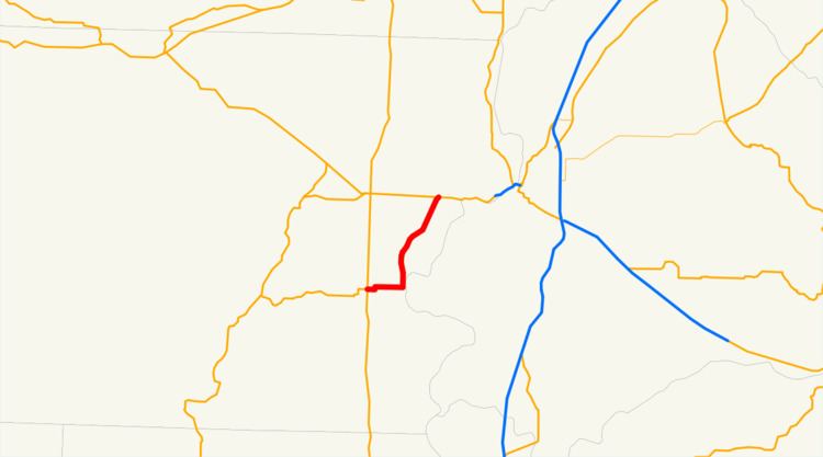
Oregon Route 51 is an Oregon state highway running between Monmouth, Oregon and an intersection with Oregon Route 22 west of Salem. OR 51 traverses several highways of the Oregon state highway system: the Monmouth–Independence Highway No. 43 and the Independence Highway No. 193. The route lies completely within Polk County. The Independence Highway previously continued south to US 20.
Contents
Map of OR-51, Independence, OR 97351, USA
Route description
OR 51 starts, at its southern terminus, in the city of Monmouth, at an intersection with Oregon Route 99W. It heads due east from there for approximately 2½ miles, reaching the neighboring city of Independence. In Independence, it turns north, running parallel to the Willamette River, and continues for 6 miles (9.7 km). OR 51 terminates at an intersection with OR 22 near Brunks Corner.
While no significant improvements are planned to OR 51 itself; a proposed project to improve OR 22 includes conversion of the (notoriously dangerous) intersection between OR 51 and OR 22 into a grade-separated interchange.
Major intersections
Milepoints are as reported by ODOT and do not necessarily reflect current mileage. Z indicates overlapping mileage due to construction longer than established route, and – indicates negative mileage behind established beginning point. For routes traversing multiple named state highways, each milepoint is preceded by the corresponding state highway number. The entire route is in Polk County.