
Existed: 1932 – present Constructed 1932 | Length 31.11 km | |
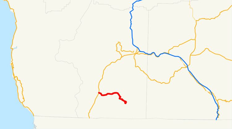 | ||
Oregon Route 46 is an Oregon state highway that runs between the city of Cave Junction and the Oregon Caves National Monument and Preserve. OR 46 traverses the Oregon Caves Highway No. 38 of the Oregon state highway system.
Contents
Map of OR-46, Cave Junction, OR 97523, USA
Route description
OR 46 starts in Cave Junction, at an intersection with U.S. Route 199. It then heads east into the Siskiyou Mountains, terminating at a parking lot for the Oregon Caves National Monument and Preserve. A forest service road (Grayback Road, NF-4611) splits east from OR 46, eventually reaching the Rogue River Valley and Oregon Route 238.
Major intersections
The entire route is in Josephine County.
References
Oregon Route 46 Wikipedia(Text) CC BY-SA