
Existed: 2003 – present Length 4.426 km | West end: OR 201 near Adrian Constructed 2003 | |
 | ||
East end: State Line Road at Idaho state line | ||
Oregon Route 452 (OR 452) is an Oregon state highway running from OR 201 near Adrian to State Line Road at the Idaho state line. OR 452 is known as the Parma Spur of the Succor Creek Highway No. 450 (see Oregon highways and routes). It is 2.75 miles (4.43 km) long and runs east–west, entirely within Malheur County.
Contents
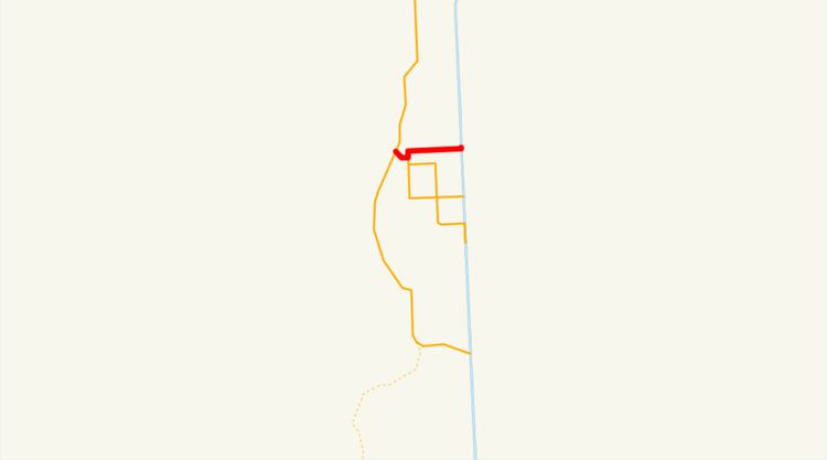
Map of OR-452, Adrian, OR 97901, USA
OR 452 was established in 2003 as part of Oregon's project to assign route numbers to highways that previously were not assigned, and, as of July 2010, was unsigned.
Route description
OR 452 begins at an intersection with OR 201 at Adrian and heads east, crossing the Snake River and intersecting OR 454 on the east side of the river. The road continues east along Roswell Road to the Idaho state line, where it ends at an intersection with State Line Road.
History
OR 452 was assigned to the Parma Spur of the Succor Creek Highway in 2003.
Major intersections
The entire route is in Malheur County.