
Existed: 2003 – present East end: US 20 in Vale Constructed 2003 | West end: US 20 near Vale Length 16.72 km | |
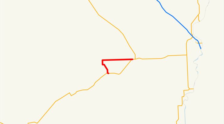 | ||
Oregon Route 451 (OR 451) is an Oregon state highway running from US 20 approximately seven miles southwest of Vale to US 20 in Vale. OR 451 is known as the Vale-West Highway No. 451 (see Oregon highways and routes). It is 10.39 miles (16.72 km) long and runs southwest to northeast in an "L" pattern, entirely within Malheur County.
Contents
OR 451 was established in 2003 as part of Oregon's project to assign route numbers to highways that previously were not assigned, and, as of July 2010, was unsigned.
Route description
OR 451 begins at an intersection with US 20 southwest of Vale and heads north and then east to Vale, where it ends at an intersection with US 20.
History
OR 451 was assigned to the Vale-West Highway in 2003.
Major intersections
The entire route is in Malheur County.
References
Oregon Route 451 Wikipedia(Text) CC BY-SA