
Existed: 2002 – present Constructed 2002 | Length 3.846 km | |
 | ||
South end: Lava Odell Road in Crescent Lake North end: OR 58 in Crescent Lake Junction | ||
Oregon Route 429 (OR 429) is an Oregon state highway running from OR 58 at Crescent Lake Junction to Lava Odell Road in Crescent Lake. OR 429 is known as the Crescent Lake Highway No. 429 (see Oregon highways and routes). It is 2.39 miles (3.85 km) long and runs northeast to southwest, entirely within Klamath County.
Contents
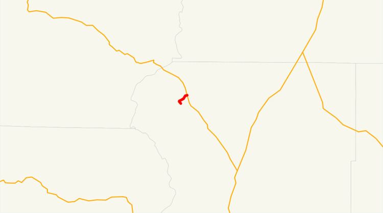
Map of OR-429, Crescent, OR 97733, USA
OR 429 was established in 2002 as part of Oregon's project to assign route numbers to highways that previously were not assigned, and, as of May 2007, was unsigned.
Route description
OR 429 begins at an intersection with OR 58 at Crescent Lake Junction and heads southwest to Crescent Lake, where it ends at an intersection with Lava Odell Road.
History
OR 429 was assigned to the Crescent Lake Highway in 2002.
Major intersections
The entire route is in Klamath County.
References
Oregon Route 429 Wikipedia(Text) CC BY-SA