
Existed: 2003 – present Length 5.971 km | Constructed 2003 | |
 | ||
West end: Granite Hill Highway in Sumpter | ||
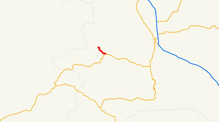
Oregon Route 410 (OR 410) is an Oregon state highway running from Sumpter to OR 7 near Sumpter. OR 410 is known as the Sumpter Highway. It is 3.71 miles (5.97 km) long and runs east–west, entirely within Baker County.
Contents
Map of OR-410, Sumpter, OR 97877, USA
OR 410 was established in 2003 as part of Oregon's project to assign route numbers to highways that previously were not assigned, and, as of July 2010, was unsigned.
Route description
OR 410 begins at the western city limits of Sumpter and heads east through Sumpter. It ends 1.83 miles (2.95 km) east of the eastern city limits at an intersection with OR 7.
History
The Sumpter Highway originally ran to the current intersection of OR 7 and OR 245 in Salisbury and was designated as OR 220. This designation was removed in the 1980s when the section east of the current terminus was redesignated as part of the Whitney Highway and OR 7. OR 410 was assigned to the Sumpter Highway in 2003.
Major intersections
The entire route is in Baker County.