
Existed: 2002 – present Length 89.3 km | Constructed 2002 | |
 | ||
East end: Beaver Creek Bridge in Paulina | ||
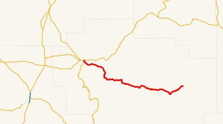
Oregon Route 380 (OR 380) is an Oregon state highway running from Prineville to Paulina. OR 380 is known as the Paulina Highway No. 380 (see Oregon highways and routes). It is 55.49 miles (89.30 km) long and runs east–west, entirely within Crook County. OR 380 was assigned to the Paulina Highway in 2002.
Contents
Map of OR-380, Prineville, OR 97754, USA
Route description
OR 380 begins at an intersection with U.S. Route 26 (US 26) at Prineville and heads east through Post to Paulina, where it ends at the Beaver Creek Bridge.
History
OR 380 was established in 2002 as part of Oregon's project to assign route numbers to highways that previously were not assigned.
Major intersections
The entire route is in Crook County.
References
Oregon Route 380 Wikipedia(Text) CC BY-SA