
Existed: 2002 – present Constructed 2002 | Length 28.76 km | |
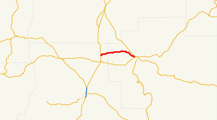 | ||
Oregon Route 370 (OR 370) is an Oregon state highway running from US 97 near Redmond to OR 126 in Prineville. OR 370 is known as the O'Neil Highway No. 370 (see Oregon highways and routes). It is 17.87 miles (28.76 km) long and runs east–west.
Contents
Map of OR-370, Oregon, USA
OR 370 was established in 2002 as part of Oregon's project to assign route numbers to highways that previously were not assigned, and, as of July 2012, was unsigned.
Route description
OR 370 begins at an intersection with US 97 approximately 2 miles (3.2 km) north of Redmond and heads east through O'Neil to Prineville, where it ends at an intersection with OR 126.
History
OR 370 was assigned to the O'Neil Highway in 2002.
References
Oregon Route 370 Wikipedia(Text) CC BY-SA