
Existed: 2002 – present Length 18.7 km | Constructed 2002 | |
 | ||
North end: US 26 / US 97 in Madras | ||
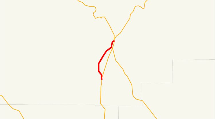
Oregon Route 361 (OR 361) is an Oregon state highway running from US 26 and US 97 in Madras to US 97 near Culver. OR 361 is known as the Culver Highway No. 361 (see Oregon highways and routes). It is 11.62 miles (18.70 km) long and runs north–south as a half loop from US 97, entirely within Jefferson County.
Contents
Map of OR-361, Madras, OR 97741, USA
OR 361 was established in 2002 as part of Oregon's project to assign route numbers to highways that previously were not assigned, and, as of May 2005, was unsigned.
Route description
OR 361 begins at an intersection with US 26 and US 97 in Madras and heads south through Metolius and Culver. Approximately 2½ miles south of Metolius, OR 361 ends at an intersection with US 97.
History
OR 361 was assigned to the Culver Highway in 2002.
Major intersections
The entire route is in Jefferson County.