
Existed: 2003 – present Length 7.789 km | Constructed 2003 | |
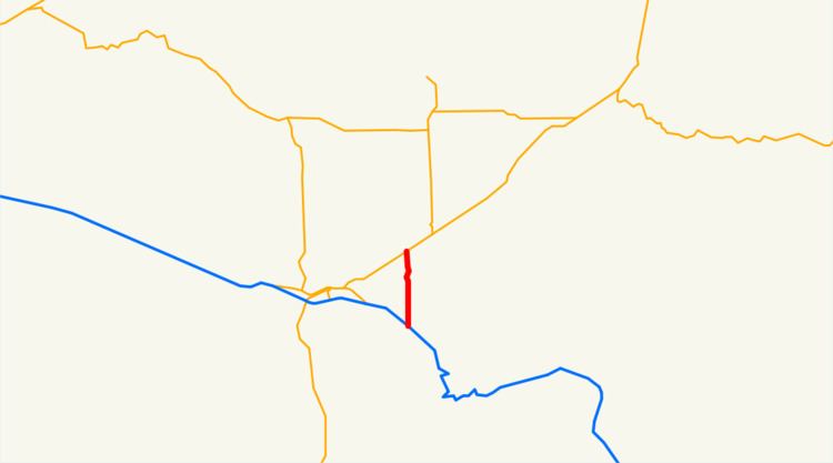 | ||
Oregon Route 331 is an Oregon state highway running from OR 11 near Mission to Interstate 84 near Mission. OR 331 is known as the Umatilla Mission Highway No. 331 (see Oregon highways and routes). It is 4.84 miles (7.79 km) long and runs north–south, entirely within Umatilla County.
Contents
Map of OR-331, Pendleton, OR 97801, USA
OR 331 was established in 2003 as part of Oregon's project to assign route numbers to highways that previously were not assigned.
Route description
OR 331 begins at an intersection with OR 11 about four miles (6 km) northeast of Pendleton and heads south onto the Umatilla Indian Reservation, through Mission, to an intersection with Interstate 84 and US 30, where it ends.
History
OR 331 was assigned to the Umatilla Mission Highway in 2003.
Major intersections
The entire route is in Umatilla County.
References
Oregon Route 331 Wikipedia(Text) CC BY-SA