
Length 75.99 km | ||
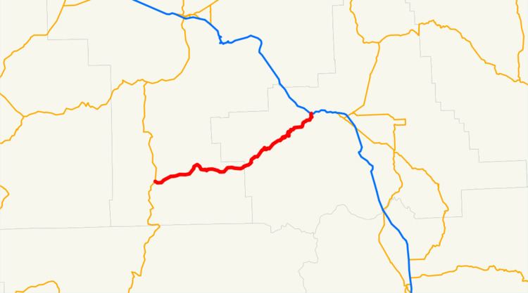 | ||
Oregon Route 244 (OR 244) is an Oregon state highway running from Ukiah in Umatilla County to Hilgard in Union County. OR 244 is known as the Ukiah-Hilgard Highway No. 341 (see Oregon highways and routes). It is 47.22 miles (75.99 km) long and runs east–west.
Contents
Map of OR-244, Oregon, USA
Route description
OR 244 begins at an intersection with U.S. Route 395 1 mile (1.6 km) west of Ukiah and continues east and northeast to Hilgard, where it ends at an intersection with Interstate 84.
History
This is the 2nd Oregon Route to use the number 244. The first OR 244 was located in suburban Portland, connecting U.S. 99W near Tualatin with OR 43 in West Linn. That route later became part of an extended Oregon Route 212, but was deleted from the state highway system after Interstate 205 was completed.
Major intersections
Milepoints are as reported by ODOT and do not necessarily reflect current mileage. Z indicates overlapping mileage due to construction longer than established route, and – indicates negative mileage behind established beginning point. For routes traversing multiple named state highways, each milepoint is preceded by the corresponding state highway number.