
Existed: 1932 – present South end: US 26 near Dayville Constructed 1932 | Component
highways: John Day Highway No. 5 Length 194 km | |
 | ||
North end: I-84 / US 30 in Arlington Counties Grant County, Oregon, Wheeler County, Oregon, Gilliam County, Oregon | ||
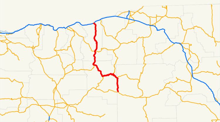
Oregon Route 19 (OR 19) is a state highway in the north-central part of the U.S. state of Oregon. It runs from a junction with U.S. Route 26 in Grant County, near the Sheep Rock Unit of the John Day Fossil Beds National Monument to Interstate 84 at Arlington in the Columbia River Gorge. OR 19 traverses the northern portion of the John Day Highway No. 5 of the Oregon state highway system and follows the John Day River from the southern terminus to Service Creek. The route has two brief overlaps with Oregon Route 206 and Oregon Route 207, both on the portions of those routes included in the Wasco-Heppner Highway No. 300.
Contents
Map of OR-19, Oregon, USA
Major intersections
Milepoints are as reported by ODOT and do not necessarily reflect current mileage. Z indicates overlapping mileage due to construction longer than established route, and – indicates negative mileage behind established beginning point. For routes traversing multiple named state highways, each milepoint is preceded by the corresponding state highway number.