
Existed: 2002 – present Length 1.207 km | Constructed 2002 | |
 | ||
West end: | ||
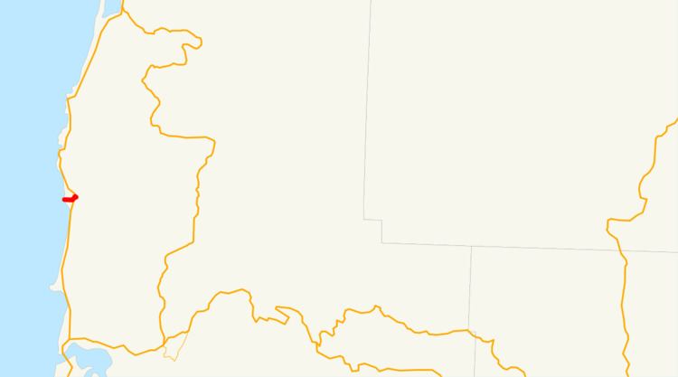
Oregon Route 182 is an Oregon state highway running from Devils Punch Bowl State Park in Lincoln County to US 101 near Newport, Oregon, United States. OR 182 is known as the Otter Rock Highway No. 182 (see Oregon highways and routes). It is 0.75 miles (1.21 km) long and runs east–west, entirely within Lincoln County. It primarily functions as a spur route to the state park.
Contents
OR 182 was established in 2002 as part of Oregon's project to assign route numbers to highways that previously were not assigned, and, as of July 2007, was unsigned.
OR 182 was transferred from ODOT jurisdiction September 26, 2005 and is no longer part of the Oregon state highway system, though it may be maintained as a highway class roadway by either county or local government.
Route description
OR 182 begins at Devils Punch Bowl State Park. It heads east to an intersection with US 101 approximately four miles north of Newport, where it ends.
History
OR 182 was assigned to the Otter Rock Highway in 2002.
Major intersections
The entire route is in Lincoln County.