
Existed: 2002 – present Length 9.7 km | Constructed 2002 | |
 | ||
North end: Fort Stevens State Park in Warrenton | ||
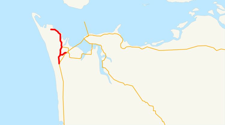
Oregon Route 104 (OR 104) is an Oregon state highway which connects US 101 near Warrenton with Fort Stevens State Park. OR 104 is known as the Fort Stevens Highway No. 104 (see Oregon highways and routes). It is 6.03 miles (9.70 km) long and runs north–south, entirely within Clatsop County.
Contents
Map of OR-104, Warrenton, OR 97146, USA
The OR 104 designation was applied to the Fort Stevens Highway in 2002 as part of Oregon's project to assign route numbers to highways that did not have route numbers.
Route description
The southern terminus of OR 104 is at a junction with US 101 near south of Warrenton. It heads due north for 6 miles (9.7 km), ending at the entrance to Fort Stevens State Park near Hammond. The southern portion of the route, and its spur constitute an old portion of US 101.
History
The Fort Stevens Highway No. 104 was established as a secondary highway in December 30, 1946. On February 19, 1981, OR 104 was extended southward to an old alignment of US 101, while US 101 was moved to a new alignment. On September 19, 2002, OR 104 was assigned to the Fort Stevens Highway.
Major intersections
The entire route is in Clatsop County.
Spur route
Oregon Route 104S is a spur route of Oregon Route 104, and connects OR 104 to U.S. Route 101 in Warrenton. OR 104S in known as the Fort Stevens Spur No. 485.