
Area 18.93 km² | Local time Sunday 8:32 AM | |
 | ||
Weather 8°C, Wind SE at 8 km/h, 75% Humidity | ||
Orcenais is a commune in the Cher department in the Centre region of France.
Contents
Map of 18200 Orcenais, France
Geography
An area of lakes and streams, forestry and farming comprising a village and several hamlets situated some 20 miles (32 km) southeast of Bourges, near the junction of the D925 with the D112 road. The small river Vilaine forms most of the commune’s eastern border.
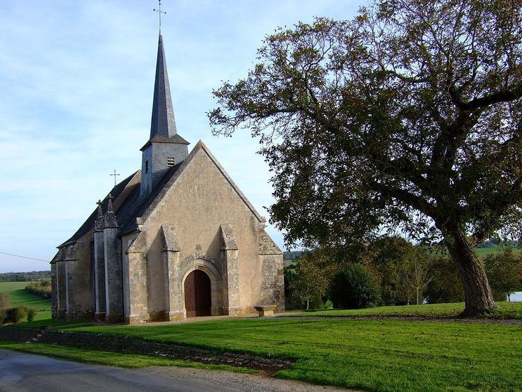
Sights
References
Orcenais Wikipedia(Text) CC BY-SA