
Country United States Time zone CST (UTC-6) Elevation 178 m Local time Saturday 11:08 PM | Established November 7, 1854 ZIP codes 62413, 62442, 62478 Area 96.17 km² Population 230 (2010) | |
 | ||
Weather 17°C, Wind SE at 13 km/h, 81% Humidity | ||
Orange Township is one of fifteen townships in Clark County, Illinois, USA. As of the 2010 census, its population was 230 and it contained 114 housing units.
Contents
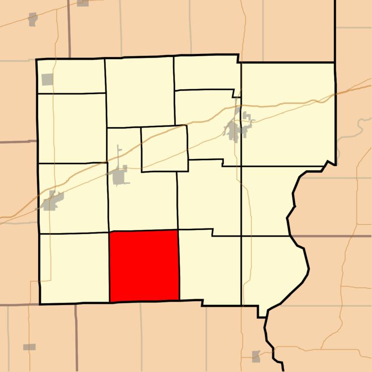
- Map of Orange Township IL USA
- Geography
- Unincorporated towns
- Cemeteries
- School districts
- Political districts
- References
Map of Orange Township, IL, USA
Geography
According to the 2010 census, the township has a total area of 37.13 square miles (96.2 km2), all land.
Unincorporated towns
(This list is based on USGS data and may include former settlements.)
Cemeteries
The township contains these four cemeteries: Bennett, Butternut, Olive Branch and Wesley Chapel.
School districts
Political districts
References
Orange Township, Clark County, Illinois Wikipedia(Text) CC BY-SA