Time zone MST (no DST) (UTC-7) Zip code 85350 Area code 928 | Established 1973 FIPS code 04-51465 Population 594 (2010) | |
 | ||
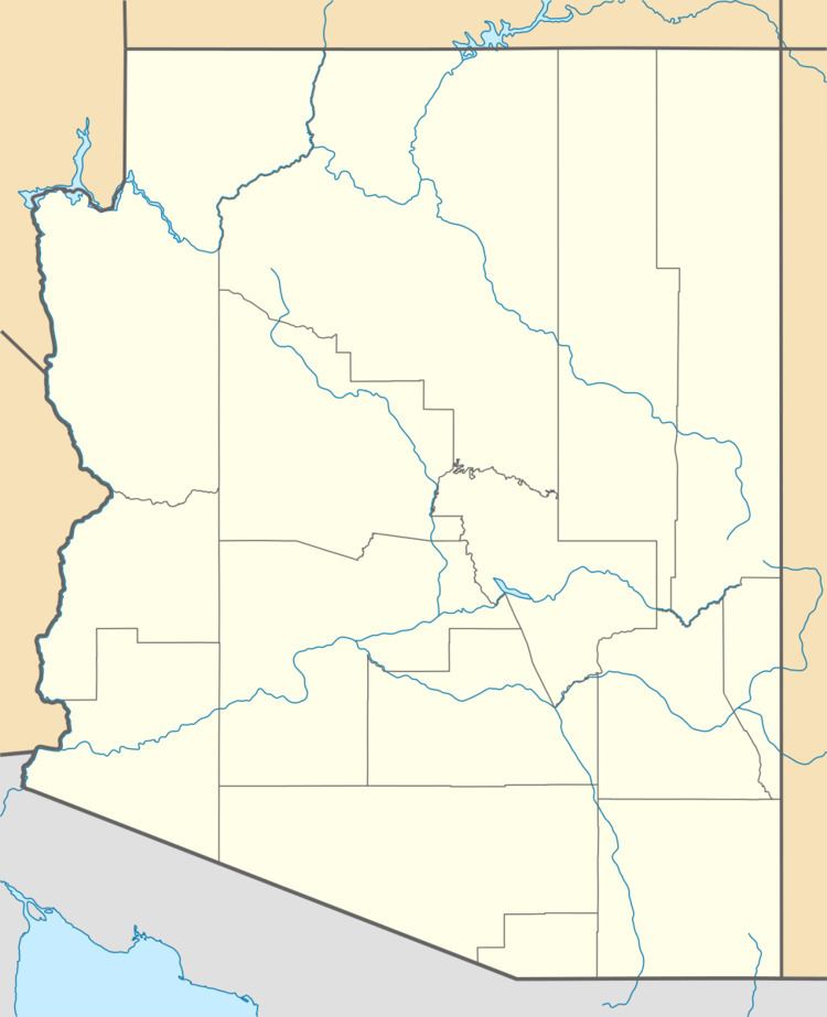
Orange Grove Mobile Manor is a census-designated place (CDP) and colonia in Yuma County, Arizona, United States. The population was 555 at the 2010 census. It is part of the Yuma Metropolitan Statistical Area.
Contents
Map of Orange Grove Mobile Manor, AZ 85350, USA
Geography
Orange Grove Mobile Manor is located at 32°35′54″N 114°39′38″W (32.598451, -114.660588). It is located to the south of the East Cocopah Indian Reservation.
According to the United States Census Bureau, the CDP has a total area of 0.063 square miles (0.16 km2), all of it land.
References
Orange Grove Mobile Manor, Arizona Wikipedia(Text) CC BY-SA
