Country Kosovo Elevation 477 m (1,565 ft) Area code(s) +383 29 Area 278 km² Population 58,214 (2014) | District District of Gjakova Time zone CET (UTC+1) Car plates 07 Postal code 21000 | |
 | ||
Weather 8°C, Wind W at 3 km/h, 86% Humidity | ||
Kosovo heavy fighting resumes around town of orahovac
Orahovac or Rahovec (Albanian: Rahovec, Rahoveci; Serbian: Ораховац) is a town and municipality in western Kosovo, in the District of Gjakova.
Contents
- Kosovo heavy fighting resumes around town of orahovac
- Map of Rahovec
- Moja ulica ako vas put nanese orahovac
- Name
- Geography and population
- Language
- Notable people
- References
Map of Rahovec
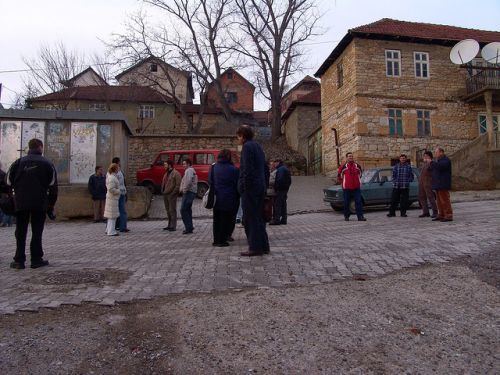
Moja ulica ako vas put nanese orahovac
Name
The Serbian name of the town, Orahovac, is derived from the Serbo-Croatian orah, meaning "walnut". The Albanian name Rahovec comes from an Albanised pronunciation of Orahovac.
Geography and population
The municipality coveres an area of approximately 276 km2 (107 sq mi) and contains 35 villages. In 2014 the town had a total population of 23,200 and the population of the municipality was 58,214. In 2011 the municipality had a total population of 56,208. Approximately 800 Kosovo Serbs live in a small Serbian enclave in the town and in the village of Velika Hoča.
Language
The town is known for a local dialect, Orahovac dialect (ravëqki; Albanian: rahovecianshe, gjuha e Rahovecit) which is a mixture of Albanian, Serbian and Bulgarian languages. Its use has declined rapidly after the Kosovo War, with Albanian becoming the predominant language.
