
Local time Saturday 11:43 PM | ||
 | ||
Weather 9°C, Wind NE at 13 km/h, 48% Humidity | ||
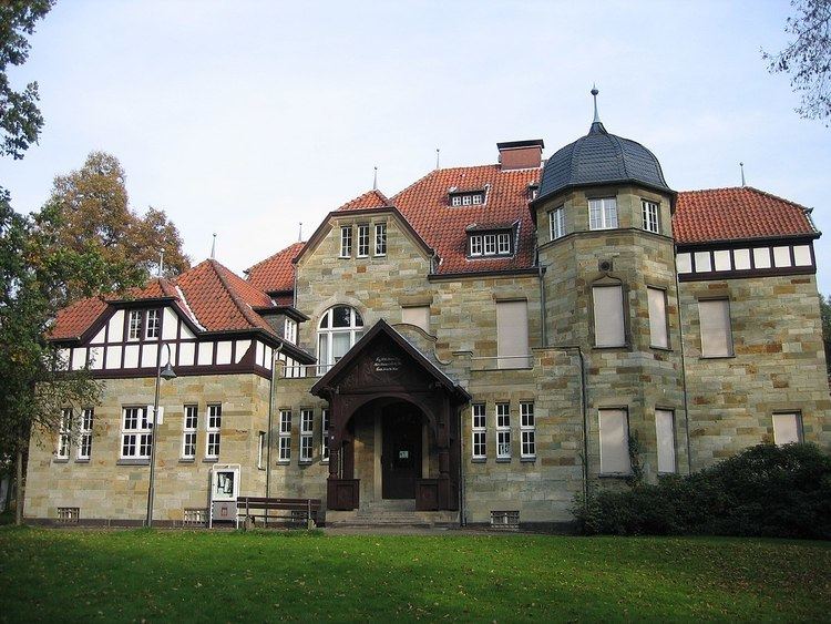
Opladen, now a district of Leverkusen, used to be the capital of the Rhein-Wupper-Kreis (Rhine-Wupper-District) until 1975. Opladen station is located 15 kilometres (9.3 mi) northeast from Cologne on the railway to Wuppertal. It is also on the Autobahn A3. Population (1905) was 6338, (1975) 42,000. It has several Evangelical and Roman Catholic churches. It used to have dyeing works, manufactures of dynamite, indigo products, publishing companies and a railway plant. Before passing to Prussia, Opladen belonged to the duchy of Berg.
Map of Opladen, 51379 Leverkusen, Germany
References
Opladen Wikipedia(Text) CC BY-SA