Local time Saturday 11:02 AM | ||
 | ||
Weather 12°C, Wind N at 8 km/h, 35% Humidity | ||
Opatovce nad nitrou
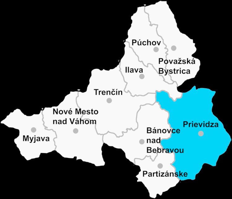
Opatovce nad Nitrou (Hungarian: Bajmócapáti) is a village and municipality in Prievidza District in the Trenčín Region of western Slovakia.
Contents
- Opatovce nad nitrou
- Map of 972 02 Opatovce nad Nitrou Slovakia
- Fk k ak k a no tj dru stevn k opatovce nad nitrou 3 5 9 10 2016
- History
- Geography
- Graphical Model of Chapel
- Graphical Model of church
- References
Map of 972 02 Opatovce nad Nitrou, Slovakia
Fk k ak k a no tj dru stevn k opatovce nad nitrou 3 5 9 10 2016
History
In historical records the village was first mentioned in 1113.
Geography
The municipality lies at an altitude of 270 metres and covers an area of 9.17 km². It has a population of about 1,453 people.
Graphical Model of Chapel
The chapelle in Opatovce nad Nitrou
Graphical Model of church
The church in Opatovce nad Nitrou
References
Opatovce nad Nitrou Wikipedia(Text) CC BY-SA
