
Towns: Ancaster Length 10.5 km Province Ontario | Villages: Rockton, Copetown Constructed 1 September 1937 Town Ancaster, Ontario | |
 | ||
Existed: September 1, 1937 – April 1, 1997 South end: Highway 2 / Highway 53 (Wilson Street) North end: Highway 8 (Dundas Street) – Hamilton Major cities Hamilton, Ancaster, Ontario | ||
King's Highway 52, commonly referred to as Highway 52, was a provincially maintained highway located in the former Regional Municipality of Hamilton-Wentworth, now the City of Hamilton. The route began at a junction with former Highway 2 and Highway 53 near Ancaster and travelled north to Highway 5 and Highway 8 in Peters Corners. An older section travelled concurrently with Highway 8 northwest to Rockton, where it turned north and travelled to the Hamilton–Wellington boundary, ending inexplicably at a township road.
Contents
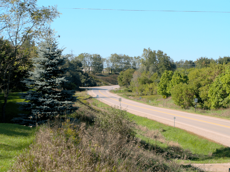
Map of ON-52, Mount Hope, ON L0R 1W0, Canada
Route description
Highway 52 was a rural highway on the outskirts of Hamilton. Although it has been locally maintained for a number of years, the surrounding have remained relatively unaltered since then. The route begins at an intersection with former Highway 2 and Highway 53 west of Ancaster. From there the highway travelled north, interchanging with Highway 403 at Exit 55. The route passes through the communities of Summit and Copetown, intersecting the former Highway 99, the Governors Road, in the latter. Soon thereafter, it intersects the former western leg of Highway 5. Immediately north of this, the route encounters Highway 8 at a second intersection, where it ended during the final decade of its existence.
History
Highway 52 originally travelled from Highway 8 in Rockton north along at least five different township roads over 13 kilometres (8 mi), ending at a local township road at the Wellington/Wentworth County Line. This section was assumed by the Department of Highways on September 1, 1937. On April 13, 1938, a dirt road from Peter's Corners south to Highway 2 and Highway 53 (Wilson Street) in Ancaster was assumed as Highway 52. This added a 7-kilometre (4 mi) multiplex with Highway 8, a full quarter of Highway 52's entire length. Throughout World War II, the new section of Highway 52 remained unimproved; in 1945 it was gravelled. The road was paved between Highway 2 and Highway 97 in 1955, with the remainder being paved three years later.
The original section of Highway 52 north of Peters Corners was downloaded to the Regional Municipality of Hamilton–Wentworth in the mid-1980s, around the same time as the decommissioning of Highway 97. The road's length was reduced to 10.7 kilometres (6.6 mi) and the concurrency with Highway 8 removed. On April 1, 1998, the remainder of Highway 52 was downloaded to the Region of Hamilton-Wentworth, now the City of Hamilton. The road has not been given a new numerical designation, and is simply known as Westover Road and Trinity Road.
Major intersections
The following table lists the major junctions along Highway 52, as noted by the Ministry of Transportation of Ontario. The entire route was located in the Regional Municipality of Hamilton–Wentworth, now the City of Hamilton. This table documents the route as it was in 1989.