
Country Canada Census division 13 Time zone MST (UTC-7) Area 3.34 km² Local time Friday 11:28 PM | Postal code span T0E 1V0 Population 1,029 (2016) Province Alberta | |
 | ||
Weather -1°C, Wind N at 6 km/h, 94% Humidity Waterways | ||
Education week 2016 community conversations alberta beach and onoway and area
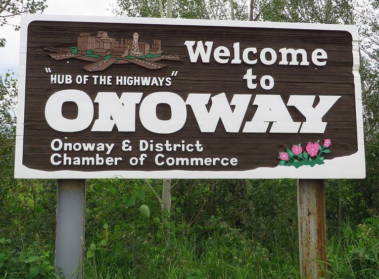
Onoway is a town in central Alberta, Canada. It is located approximately 60 km (37 mi) northwest of Edmonton at the junction of Highway 37 and Highway 43.
Contents
- Education week 2016 community conversations alberta beach and onoway and area
- Map of Onoway AB Canada
- Viper onoway
- Demographics
- References
Map of Onoway, AB, Canada
The Canadian National Railway tracks run through the town, which is situated immediately east of Lac Ste. Anne and south of the Sturgeon River. Onoway built and opened a new Elementary school, and the old one is being used as a public library. A new Jr/Sr High school is in the process of being built and is to be completed in 2017. Every June, Onoway has a fair weekend, called "Heritage Days"
Viper onoway
Demographics
In the 2016 Census of Population conducted by Statistics Canada, the Town of Onoway recorded a population of 1,029 living in 355 of its 374 total private dwellings, a 2999900000000000000♠−1% change from its 2011 population of 1,039. With a land area of 3.32 km2 (1.28 sq mi), it had a population density of 309.9/km2 (802.7/sq mi) in 2016.
In the 2011 Census, the Town of Onoway had a population of 1,039 living in 375 of its 403 total dwellings, an 18.7% change from its 2006 population of 875. With a land area of 3.34 km2 (1.29 sq mi), it had a population density of 311.1/km2 (805.7/sq mi) in 2011.
The population of the Town of Onoway according to its 2010 municipal census is 1,021.