Country United States ZIP codes 25545 Local time Friday 2:07 PM | Time zone Eastern (EST) (UTC-5) GNIS feature ID 1544405 | |
 | ||
Weather 23°C, Wind SW at 18 km/h, 42% Humidity | ||
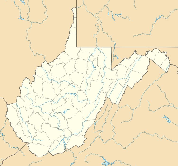
Ona is a small unincorporated community along US 60 (the old Midland Trail) in Cabell County, West Virginia. It is situated roughly halfway between the towns of Barboursville to the west and Milton to the east.
Contents
Map of Ona, WV 25545, USA
Ona is a part of the Huntington-Ashland, WV-KY-OH, Metropolitan Statistical Area (MSA). As of the 2010 census, the MSA had a population of 287,702. New definitions from February 28, 2013 placed the population at 363,000.
Landmarks
Ona is home to three notable places. The first is Cabell Midland High School, which is the consolidated regional secondary school for students living in the eastern half of Cabell County. This is a rather large high school of modern construction, with extensive athletic facilities. The student population varies from 1,500 to 2,000 students.
A second landmark is the Ona Racetrack. This is a prime location for local stock-car racing competitions. The track has had its share of financial difficulties and has been closed several times in recent years. The last time NASCAR held a Cup level race on a Tuesday was Aug. 11, 1970, when Richard Petty won the West Virginia 300 in Ona.
The third landmark is the Ona Airfield. This airstrip consists of a 3154x40 foot runway (heading 064/244 magnetic) with an associated taxiway, two hangars, and a parking lot. Flying lessons are offered there by pilots. The airport's IATA Airport Code is 12V, and its CTAF frequency is 122.8 MHz. Landing and departure control are conducted from Charleston's Yeager Airport. Ona Airpark does not have its own control tower.
