
Type Highway Length 164 km | Route number(s) C543Entire route | |
 | ||
North end Murray Valley HighwayTallangatta, Victoria South end Great Alpine RoadOmeo, Victoria Major settlements | ||
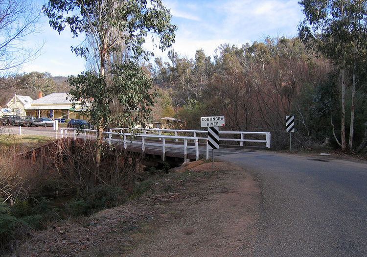
The Omeo Highway is a 157 kilometre (km) road in eastern Victoria, Australia, connecting north-east Victoria to Gippsland over parts of the Victorian Alps. The Highway is the first gazetted State highway in Victoria (1925).
Map of Omeo Hwy, Victoria, Australia
There are no substantial settlements between Mitta Mitta and Omeo, and therefore fuel is unavailable. There is no mobile phone communication from Mitta Mitta to south of Anglers' rest although there is an emergency roadside phone at the base of Mt Wills. There is some CB repeater coverage including Ch1 (Mitta). Monitor other traffic and log trucks on Ch 40.
Police and ambulance services are available at Mitta Mitta and Omeo.
Conditions in the mountains can change quickly and be harsh, particularly during winter. Snow is not uncommon in the winter season and may cause the road to be closed for short periods.
As probably one of the most impressive scenic routes in Australia, there are excellent views along most of the road, making it very popular with tourists. Due to winding nature of the road along the Omeo Highway, it is a common place for large groups of motorcycles to go riding. The Victorian Government completed the sealing of the road in March 2014 and the official opening of the completed highway took place at "The Walnuts" in May 2014.
There are some interesting stories of the highway that can be downloaded.