
OS grid reference SO844635 Region West Midlands Sovereign state United Kingdom Local time Friday 11:25 AM District Wychavon UK parliament constituency Mid Worcestershire | Civil parish Ombersley Country England Post town DROITWICH Shire county Worcestershire Dialling code 01905 | |
 | ||
Weather 10°C, Wind NE at 21 km/h, 71% Humidity | ||
Driving along ombersley road worcester worcestershire england 10th february 2012
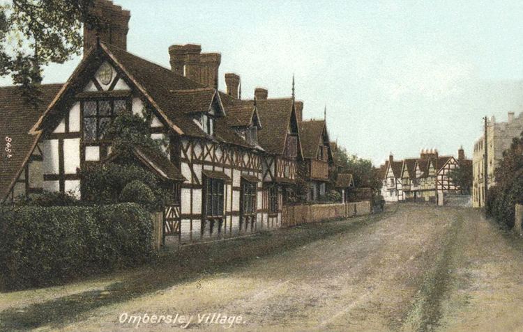
The village and parish of Ombersley is in the Wychavon District Council area of Worcestershire.
Contents
- Driving along ombersley road worcester worcestershire england 10th february 2012
- Map of Ombersley Droitwich UK
- Burfordombersley avi
- Royal forest
- Location
- References
Map of Ombersley, Droitwich, UK
The first known reference to the village was the granting of a Charter to Abbot Egwin, later Saint Egwin, of Evesham Abbey in 706 AD. This was the Charter of King Æthelweard of the Hwicce, which granted twelve cassates in Ombersley to the Benedictine Abbey at Evesham.
Ombersley Court is the traditional home of the Lords Sandys, many of whom are buried in the family mausoleum in the churchyard of St Andrew's parish church. When St Andrew's was built in its current form between 1825 and 1829, the chancel of the old church was adapted for use as mausoleum for the lords of the manor.
Burfordombersley avi
Royal forest
Ombersley was part of a Royal forest until 1229. The forest gives the village its name.
Location
Ombersley is 6 miles north of Worcester, 4 miles west of Droitwich, on the intersection of the A449 & A4133.